With more than 140 maps, charts, sketches, photographs, and tables, this atlas offers an up-to-date and bird's-eye overview of protected areas in France. How do we preserve the environment today in France? With what tools? According to which modalities and which processes?
The result of three years of work and the mobilization of much recent data from management structures and the multiple actors involved in protection and planning processes, this book answers these questions, amongst others.
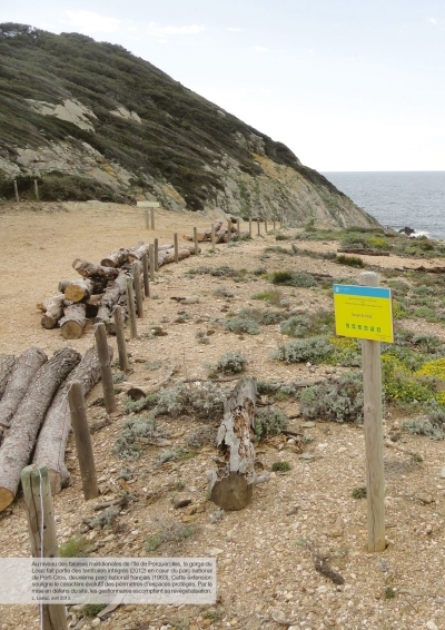
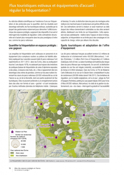
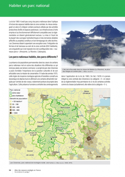
The authors, geographers, offer an analysis of the dynamics of conservation through the prism of a resolutely social reading of the environment. It is thus in the light of political choices, of the conflict between uses and practices of protected areas, or even of their social acceptance the provides the context to forty double pages (with two to six illustrations each) of this work. Representatively covering a large sample of areas in mainland France and overseas, they address emblematic sites in particular (Gavarnie, Mont-Saint-Michel, etc.), environments (wetlands, coast, mountains, etc.) and types of protection. In the latter category, they put into perspective a wide range of tools, from the most classic (national parks, nature reserves, etc.) to the most contemporary approaches (night environment, intra-urban nature, private initiatives, etc.). With the many examples and critical analyses, this atlas is intended to be a tool that is just as informative as it is thought-provoking for managers, but also for the general public, on the way in which environmental protection is taking shape in France and, more broadly, on our relationship to nature.
 �����������
 Volume 82